The San Miguel Watershed Coalition is pursuing a program to institute Process Based Restoration (PBR) within the watershed.
Process Based Restoration (PBR) is the term applied to restorative practices that allow riverine processes to naturally restore full functionality of a river system. Instead of using heavy machinery and complex engineering to mimic a healthy riparian corridor, the river is given a small helping hand to restore these processes on its own. Because the majority of the restoration happens completely naturally from the energy of the river and it’s ecosystems these PBR approaches are extremely cost effective and self-sustaining in the long run. Many river systems across the American west have become incised and separated from their floodplain. These impairments lead to poor aquifer recharge, small wetlands, fast runoff and dry soils. Much of this impairment is due to lack of woody debris in the river that slow the flow of water – creating wetland complexes and augmenting water supply.
The two main tools in the PBR toolbox are beaver dam analogs (BDA) and post-assisted log structures (PALS). BDA’s and PALS are both low-tech structures installed by pounding posts into the riverbed to anchor woody structure thereby mimicking naturally occurring beaver dams or log jams. This structure in the river slows the flow of water, widens wetlands and creates fish and wildlife habitat.

click image to view the study
The Coalition’s Restoration Program seeks projects that promote reconnecting rivers with their floodplains. A river connected to its floodplain provides numerous environmental and social benefits, including increased water tables, support for riparian vegetation growth, enhanced resilience to wildfires, and extended irrigation seasons for ranchers.
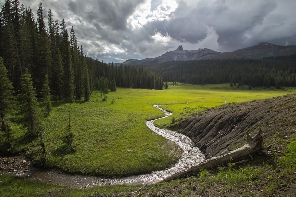
In the San Miguel Watershed, many rivers have become disconnected from their floodplains for various reasons. Factors such as soil type, gradient, and river alignment can naturally lead to this disconnection. However, anthropogenic (human) activities can exacerbate the rate of channel incision. Incision, as termed by hydrologists, occurs when a river actively cuts into its riverbed, moving farther away from its floodplain (See Figure 1).
Anthropogenic activities such as the extirpation of beaver, overgrazing, unmaintained trails/roads, and developments in riparian areas can cause streams to become incised. When colonists first migrated to the western slope, they often followed valley bottoms along rivers, as these were the “paths of least resistance.” To transport metals and other goods from Telluride to the rest of the country, the Southern Rio Grande Railway was built, altering the original alignment of the San Miguel River. While these events facilitated community and economic growth in the San Miguel Watershed, anthropogenic factors can also have negative impacts on our rivers.
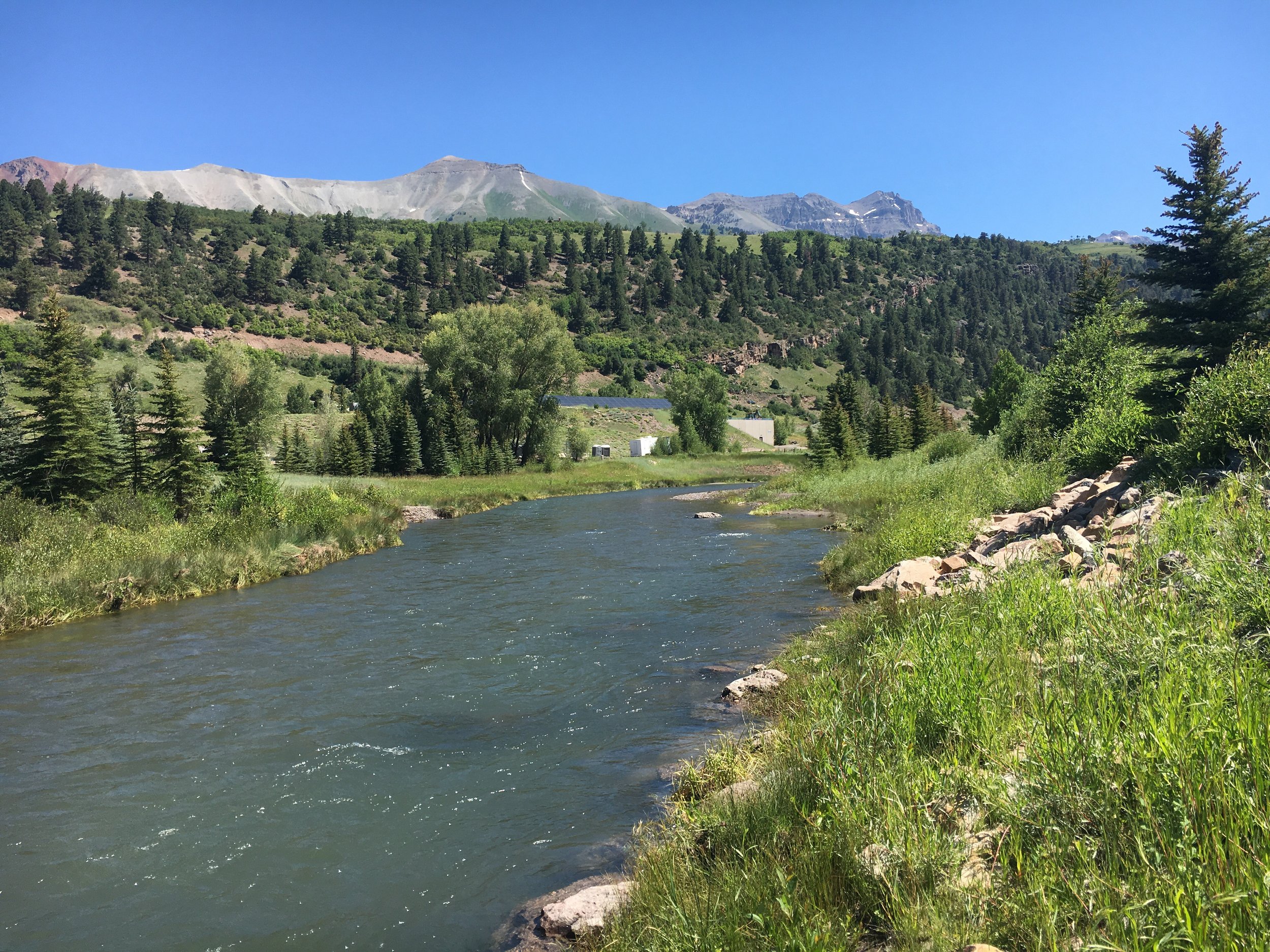
Fig. 01

The photo labeled “a” in the top right corner is an example of an incised stream. Notice the water table is low and far from the floodplain. As you move towards the photo labeled “f” the water table increases and moves toward the surface. Increasing water tables and reconnecting rivers to their floodplains are goals of LTPBR. This photo was taken from the LTPBR Manual provided by Utah State University. The LTPBR Manual helps practitioners understand core concepts of LTPBR and serves as a guide for implementing LTPBR projects.
As part of SMWC’s Restoration Program, collaborate with multiple stakeholders in the watershed to identify degraded streams. Once an area is identified, we conduct field visits with land managers and restoration specialists to develop management actions aimed at restoring streams to healthier conditions. These site visits help us establish project-specific goals and outcomes, as well as concrete project designs. This information provides the necessary context for applying for grants to fund our work.
To help restore wetlands and reconnect rivers with their floodplains, SMWC and other restoration practitioners across the West are employing low-tech, process-based restoration (LTPBR) techniques. LTPBR utilizes cost-effective solutions to promote, mimic, and sustain natural processes to aid in stream health restoration (Wheaton et al., 2019). Examples of LTPBR include installing beaver-dam analogs (BDAs) to promote beaver activity (see picture in Figure 2), post-assisted-log structures (PALs) to encourage woody accumulation in streams, and building Zeedyk structures in wet meadows to create brooding habitat for Gunnison Sage Grouse (see picture in Figure 3). The choice of LTPBR tool for restoration depends on the ecosystem, source of degradation, and restoration goals. LTPBR is gaining popularity due to its low cost and its ability to address large-scale degradation. Whereas traditional methods often require heavy machinery and millions of dollars to address a one-mile section of stream, LTPBR can achieve similar results at a fraction of the cost and address hundreds of miles of degraded streams. For more information on LTPBR, you can refer to Utah State University’s Low Tech Process Based Restoration of Riverscapaces Design Manual.
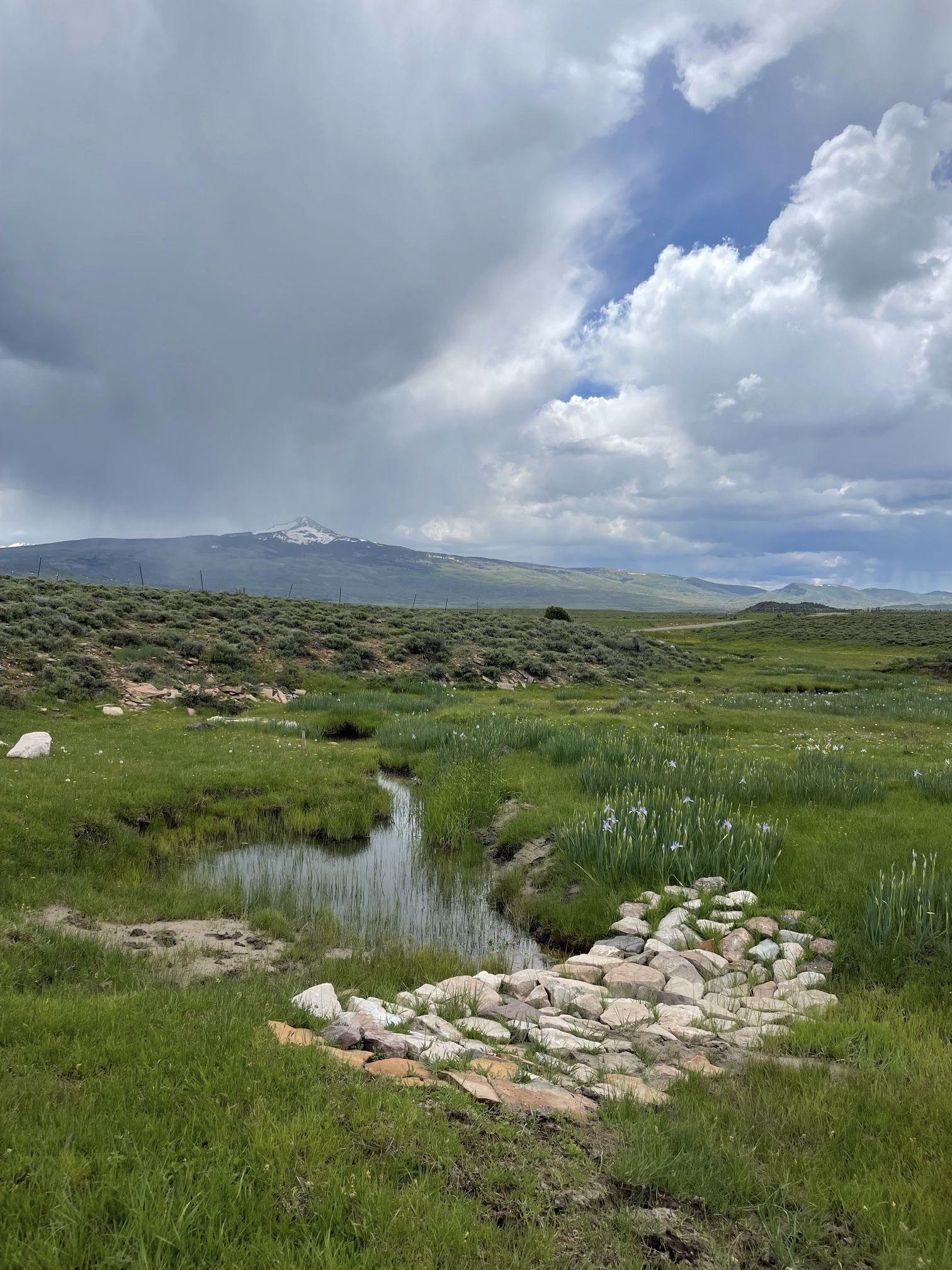
Fig. 02

Photo taken on Private Lands near Gunnison Colorado. Shown in this picture looking downstream is a Beaver-Dam-Analogue made using wood posts and then weaving nearby vegetation through the posts. As indicated by the bank upstream of the BDA, this section of river was beginning to become separated from its floodplains. Sediment will hopefully aggrade behind the BDA and overtime, this river will be reconnected with its floodplain.
Updates
In 2022, SMWC brought on Paul Kieras to help build SMWC’s Restoration Program. During this time, Paul was a graduate student at Western Colorado University. For his Master’s project he created a beaver-habitat-suitability model (Figure 4) in ArcGIS to see where in the watershed there is beaver habitat. Since beaver’s dam building capabilities can quickly reconnect a river to its floodplain, he thought working with beavers would be a good way to help restore riparian areas. SMWC has been using the model Paul has created to plan site visits with public land agencies. Through this process SMWC hopes to identify sites that are ripe for LTPBR.
To review areas where SMWC is interested in pursuing low-tech-restoration efforts check out our ArcGIS Online Map here. Points represent sites SMWC has identified and has either visited or planning a site visit to.
In 2024 SMWC received planning grants from The Nature Conservancy and the Colorado Water Conservation Board (CWCB). SMWC is currently using these funds to engage stakeholders in the LTPBR planning process. We are currently contracting Arable Earth, a company with restoration specialists to help build on the work Paul has completed in understanding where the LTPBR opportunities are in the watershed. Arable Earth will publish a report for the SMWC that outlines where restoration opportunities are and what are the factors limiting beaver activity. This work will further assist us in the site identification process. After site identification is completed we will begin planning site visits with public land managers, private landowners and Arable Earth to move toward designing, and implementing LTPBR projects. Once Arable Earth has completed the remote assessment we will publish the report to our website.
Have ideas for project locations? Please take this survey to help us plan restoration projects.

Beaver Restoration Opportunity Assessment
Special thanks to our partners!
SMWC works with multiple partners to help carry out restoration projects in the San Miguel Watershed. We are very appreciative to collaborate with multiple different agencies. This work is made possible by:
United States Forest Service
Bureau of Land Management
Bureau of Reclamation
Colorado Parks and Wildlife
Colorado Water Conservation Board
Colorado Department of Public Health and Environment
Healthy Rivers
Town of Telluride
Town of Mountain Village Housing Authority
Town of Ophir
Telluride Foundation
The Nature Conservancy
American Rivers
Alpine Water Resources
Trout Unlimited
Eco-Metrics
Arable Earth
Private Landowners
Thanks to the generous support from…


Work cited for LTPBR Manual..
Citation: Chapter 4 of LTPBR Manual. Shahverdian, S.M., Wheaton, J.M., Bennett, S.N., Bouwes, N., Camp, R., Jordan, C.E., Portugal, E. and Weber, N., 2019. Chapter 4 – Mimicking and Promoting Wood Accumulation and Beaver Dam Activity with Post-Assisted Log Structures and Beaver Dam Analogues In: J.M. Wheaton, S.N. Bennett, N. Bouwes, J.D. Maestas and S.M. Shahverdian (Editors), Low-Tech Process-Based Restoration of Riverscapes: Design Manual. Utah State University Restoration Consortium, Logan, Utah. 66 pp.